Five Best Trail Runs (or Walks) on the Coromandel Peninsula
- Nicki Munro
- Dec 23, 2025
- 6 min read
Updated: Dec 23, 2025
Why I choose trail
Stress fractures. I developed them in my tibia (shins) when I was 15, and I remember hobbling around high-school and clutching onto my friends because full weight-bearing was excruciating. The culprit?? I ran the roads and pavement every day, creating constant stress on my joints and bones with every step like a little hammer to the same spot over, and over again. The recovery prescription consisted of rest, no running, and staying off hard surfaces.

Eventually I returned to my doctor eager to run again and he suggested a slow return, but changing to trails where the substrate and terrain was more variable. This would mean that every step was different (and usually softer), therefore not creating the constant stress I was inducing before. The trail bug bit early and I was hooked – never to go back to road running again.
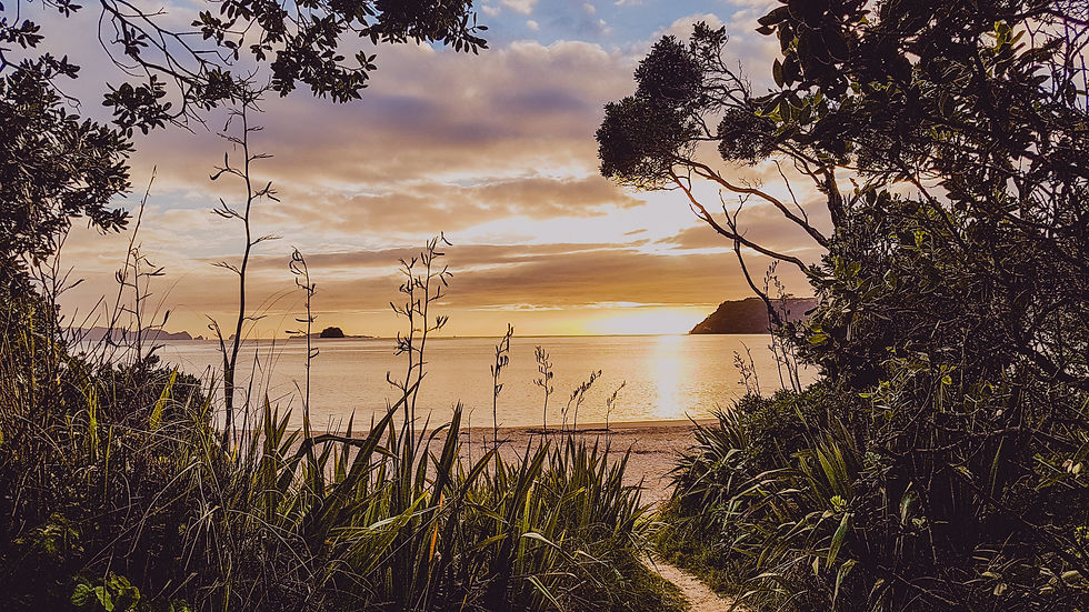
Coromandel has some of the best trail runs!
In the Coromandel we are absolutely blessed with a variety of trails that offer something for everyone. Choose wide open spaces, or more technical bush-clad single-trail. Keep it flat, or get mountainous. You’ll find beaches that link up paths, or trails that follow estuaries. Reach a summit, or include some boulder hopping. River crossings your thing? Yep - got that too.
It was difficult to limit this to just the five best trail runs in the Coromandel (there are so many more)! But I think the ones I've chosen to share below cover a range of terrain and have varying levels of difficulty for all runners. Alright, let’s check them out!
Fletcher Bay to Stony Bay – Coromandel Walkway: 20km Return

Starting off with a favourite - this undulating track isn’t particularly flat nor steep and is often sheltered by native coastal bush. When it does open up, views of Aotea (Great Barrier Island) make it look like just a stone’s-throw away.
Cut the distance in half by getting a buddy to pick you up at the other end or run half-way in and return.
You can also make this trip more difficult by returning via the mountain bike track. This is more exposed, steep, and about 20 km for the entire loop.
NOTES
No Dog Access
Dogs are not permitted at the campsites at either end of the Track (Stoney Bay and Fletcher Bay), nor are they allowed on the track.
Kauri Dieback Disease
Clean all gear of soil before arriving.
Use Kauri-dieback cleaning stations at the start of the track.
Find more information on the DOC website HERE
Cook’s Beach surroundings – Varying lengths
Start literally anywhere and put your adventure together like a pick-n-mix.

2 - 3km option: Just want great views of Mercury Bay and the islands? Do a 2 - 3km loop of Shakespeare Cliff. Starting at the north end of Cooks Beach, head to Flaxmill Bay, then go up and over the staircase through Shakespeare Cliff Reserve. Drop into the lovely Lonely Bay if you wish, before heading down the other side, back to your car.
5 - 6km option: Add on two more kilometres by continuing north past Flaxmill Bay to reach Ferry Landing. From here, turn left and duck up the harbour-side to join the Maramaratotara Walkway that leads you up a steep track to reach a viewing platform with stunning views across Whitianga, and up the harbour. You’ll be rewarded with more awesome views as you come down the other side.
12 - 13km option: More than double your distance (or just do the flat stuff) when you plan your run for low tide. Running along Cooks Beach is a great way to incorporate some flatter running in this area, take your mind off where your next foot is being placed, and take in the surroundings instead. When you reach the Purangi Estuary you can extend your run by another 2kms by following the reserve around the edge of the water before turning around and heading back the way you came. Then, do the 5 - 6km option described above.
Find more information on the Thames-Coromandel District Council Website HERE
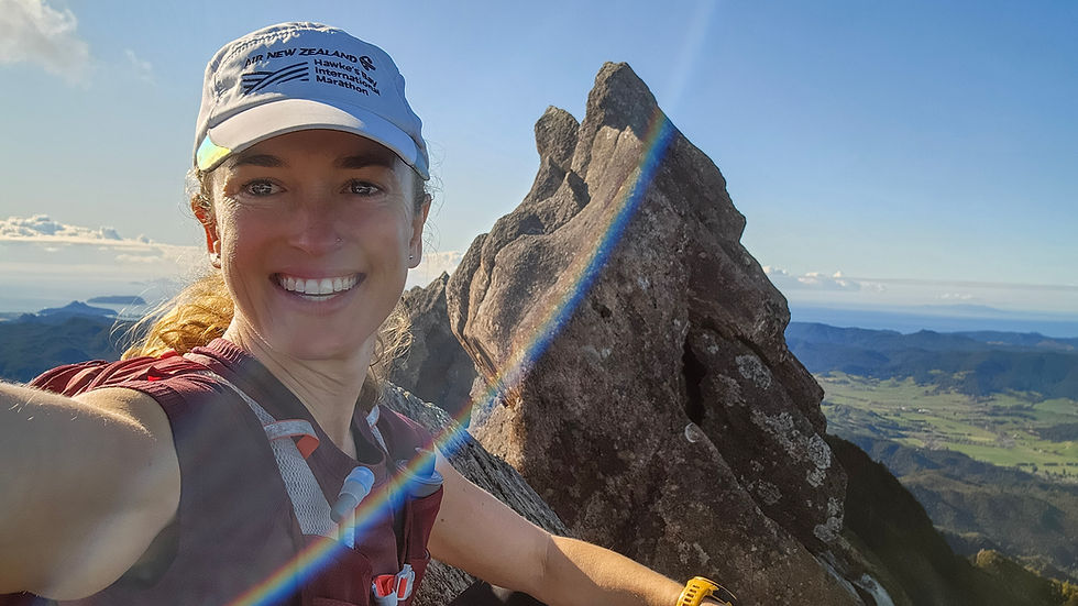
The Pinnacles – 17km Return via the Billy Goat Track
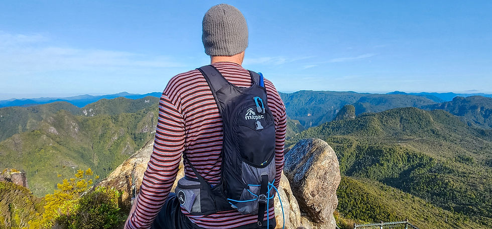
Close to my heart - this place was a training ground for me in 2009 when I was a hut ranger stationed at the Pinnacles Hut. I may be biased, but I feel like everyone should make a trip up at least once in their lives.
Start off by following the Kauaeranga River through the Nikau groves before turning up Webb Creek. Native forest will keep you cool as you clamber the steps and pop out in the tussocky vegetation just before the Pinnacles Hut at around 650m. Beckoning are the Pinnacles, a sharp and attention demanding outcrop of volcanic rocks, challenging you to charge on to the top (759m).
Be cautious, this walk does require a certain level of fitness. If you’re just starting out – get some hill work into your training to make the trip more enjoyable.
Extend your run on the way back by returning via the Billy Goat Track but be prepared for a river crossing at the end (do not use this return track when river levels are high).
Read an in-depth coverage of this in our other trail blog HERE
NOTES
Dogs
Dogs are not permitted without a permit
Kauri Dieback Disease
Clean all gear of soil before arriving.
Use Kauri-dieback cleaning stations at the start of the track.
Hauraki Rail Trail – Choose your duration!

Maybe I’m stepping just out of the Coromandel region with this one, but I think it’s worth a mention. If you’re just starting out, the rail trail offers nice flat terrain and mostly even substrate. The biggest ascent you’ll make is approaching one of the many sturdy swing bridges. Start anywhere you like from Thames or Kaiaua, through to Paeroa (you can continue further on into Waihi or Te Aroha too)
I love these sections in the colder months when I’m ok with full sun exposure, and wanting a dry, flat track to run on. Sunset runs are the best here!
Find more information on the Hauraki Rail Trail Website HERE
Mt Pauanui summit loop – 4.5km

A toughie but a goodie! The hardest but quickest way up is via the main track – about 1.3km. Steep and unrelenting zigzags takes you through the pine trees before reaching the top. Here you’ll be thankful for a couple of benches to recover on and take in the awe-inspiring views of Pauanui Beach, coastal islands, Mt Paku, Tairua Harbour, and beyond.
Loop back down the path that extends further to the east – it’s less steep (just), but longer in distance, and requires some rock-hopping at the end when you reach the ocean. Don't resist a dip in the ocean when you get back to your car - It's the perfect ending!

NOTES
Dogs
Dogs are not permitted on the trail
Kauri Dieback Disease
Clean all gear of soil before arriving
Use Kauri-dieback cleaning stations at the start of the track
Find more information on the DOC website HERE
Give it a go!
With summer now here, it's a great time to attempt some new trails (or your first). All the above can be walked instead of run, with the same benefits. Give trail running a go by heading out on one of your favourite walks and jogging a couple of the easy parts.
Being out in nature, moving your body, and taking in the freshest air is one the best things you can do for your physical and mental health. It may take a couple of goes to find the joy and reap the benefits, but stick to it, and I have little doubt you’ll catch the trail bug as quickly as I did.
Comments